What happened
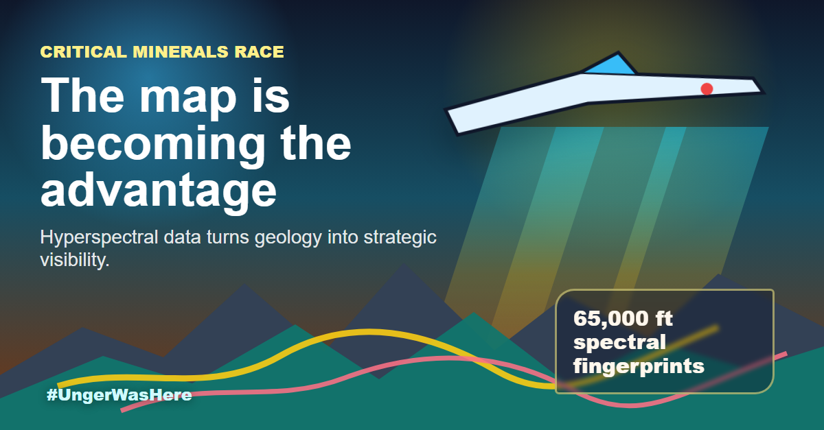
USGS and NASA announced a hyperspectral survey of the American West from 65,000 feet, using high-altitude sensing to map mineral signatures across hundreds of thousands of square miles. That is not just better geology. It is strategic visibility.
Countries and companies are competing for copper, nickel, titanium, rare earths, and other inputs that sit underneath electrification, defense, semiconductors, aerospace, and advanced manufacturing. Better maps can change where exploration capital goes, how fast permitting conversations move, and how governments think about mineral independence.
The next supply chain advantage may start with knowing where to look before everyone else does.
Source
Reported by USGS, NASA Map Critical Minerals from 65,000 Feet via usgs.gov, published May 12, 2026.